Southwark: Project Delivery & Evaluation
Impact on Urban Health asked Healthy Streets to steer the delivery and evaluation of a £250,000 project to create three low traffic neighbourhoods in the London Borough of Southwark.
Read the full report
The project aimed to support people to walk, cycle and social distance, particularly around schools and parks in neighbourhoods of greatest need during and after the COVID pandemic.
The first step was to identify potential neighbourhoods using data on ethnicity, income, social housing, deprivation, locations and catchments of schools and parks. The focus was narrowed with data on areas with inappropriate speed and volume of through-traffic on narrow streets and feedback from advocacy organisations, residents, visitors and businesses on local issues.
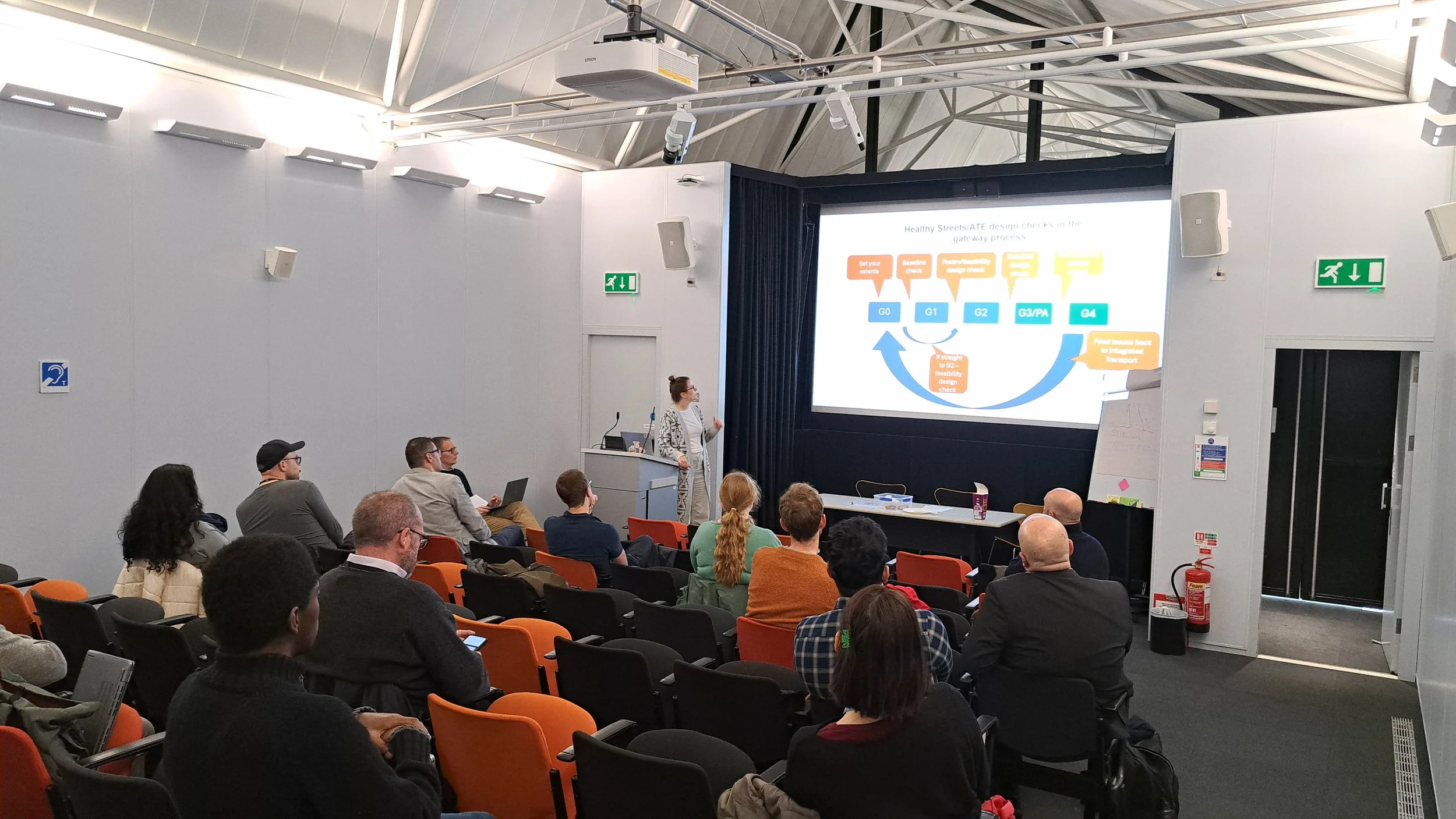
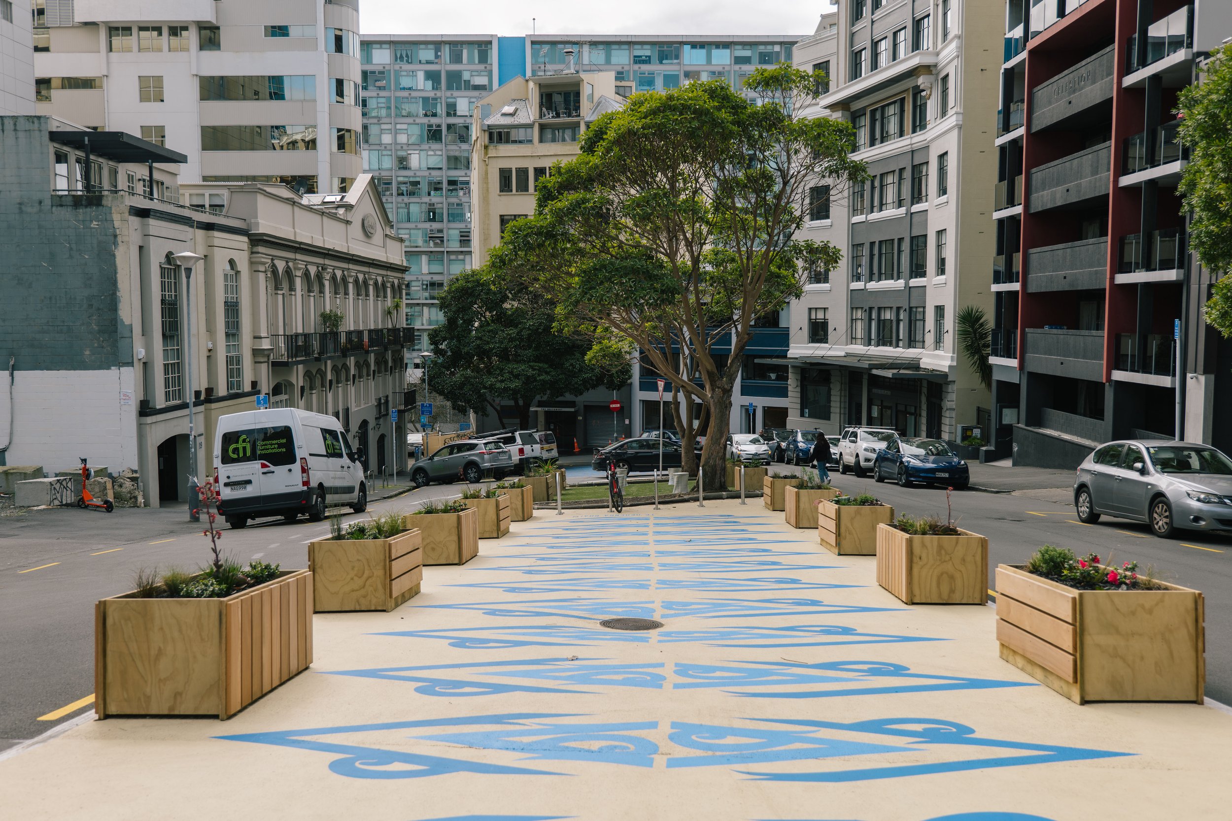
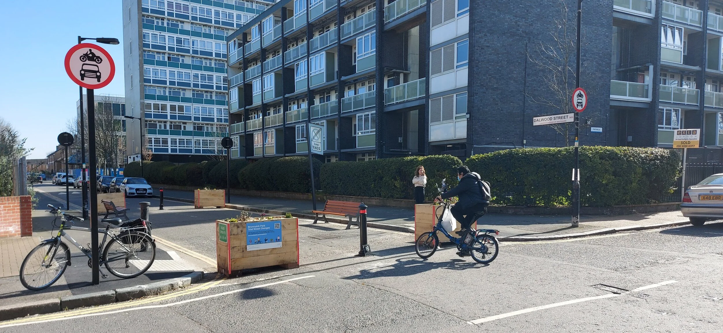
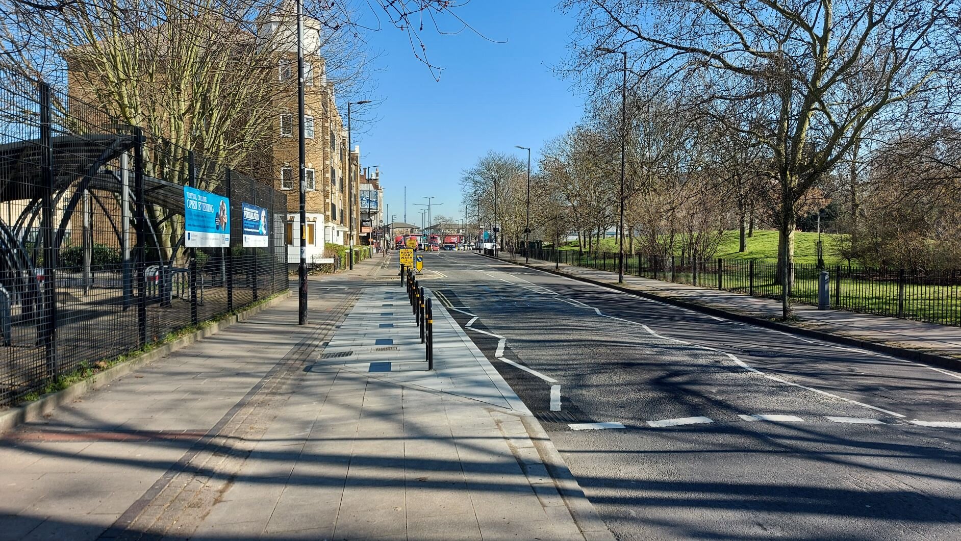
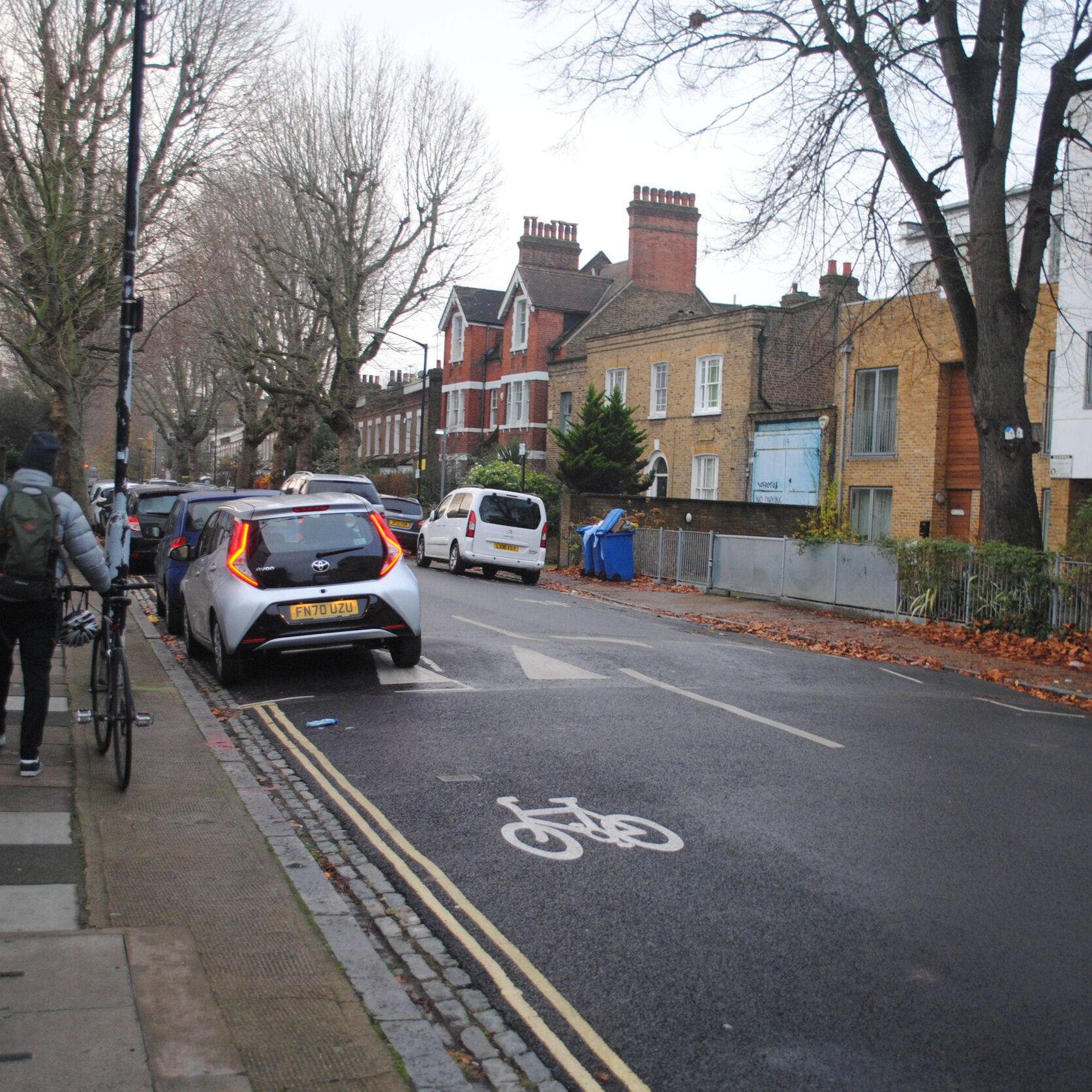
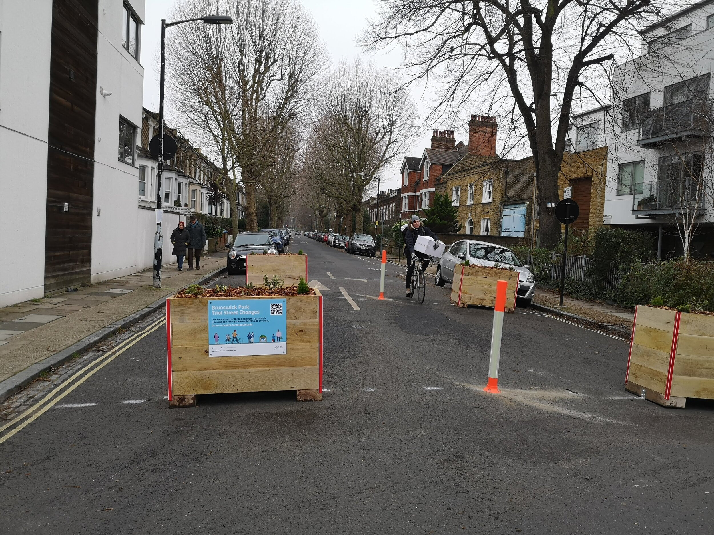
Project interventions were designed in each area to maximise the improvements in the Healthy Streets Indicators within the budgetary, legal and practical constraints. Designs were assessed and quantified with the Healthy Streets Check for Designers. In each of the three neighbourhoods planters were used to address through traffic using narrow streets as shortcuts. Pavements were widened and crossing points improved. Seating was placed at key locations.
Written communications used Healthy Streets guidance to remove technical language and to ensure it was simple to understand. This was supplemented with maps showing the changes in each area and an FAQ document which were added to dedicated feedback websites. The maps were also placed prominently on the planters so people could see what had changed locally and how they could share their views.
Evaluation was based on the Healthy Streets Evaluation Framework, tailored to the COVID pandemic. A Case-control method compared the three project areas with two control sites to account for the unusual and uncertain changes in on-street activity related to national restrictions. The Healthy Streets Check for Designers was used to quantify how the streets physically changed.
Video data captured changes in walking, cycling and dwelling at key locations, Automatic Traffic Counts monitored traffic levels over the wider area. Face to face on-street data collection was replaced with community researchers using their personal networks to gather views.
More Case Studies